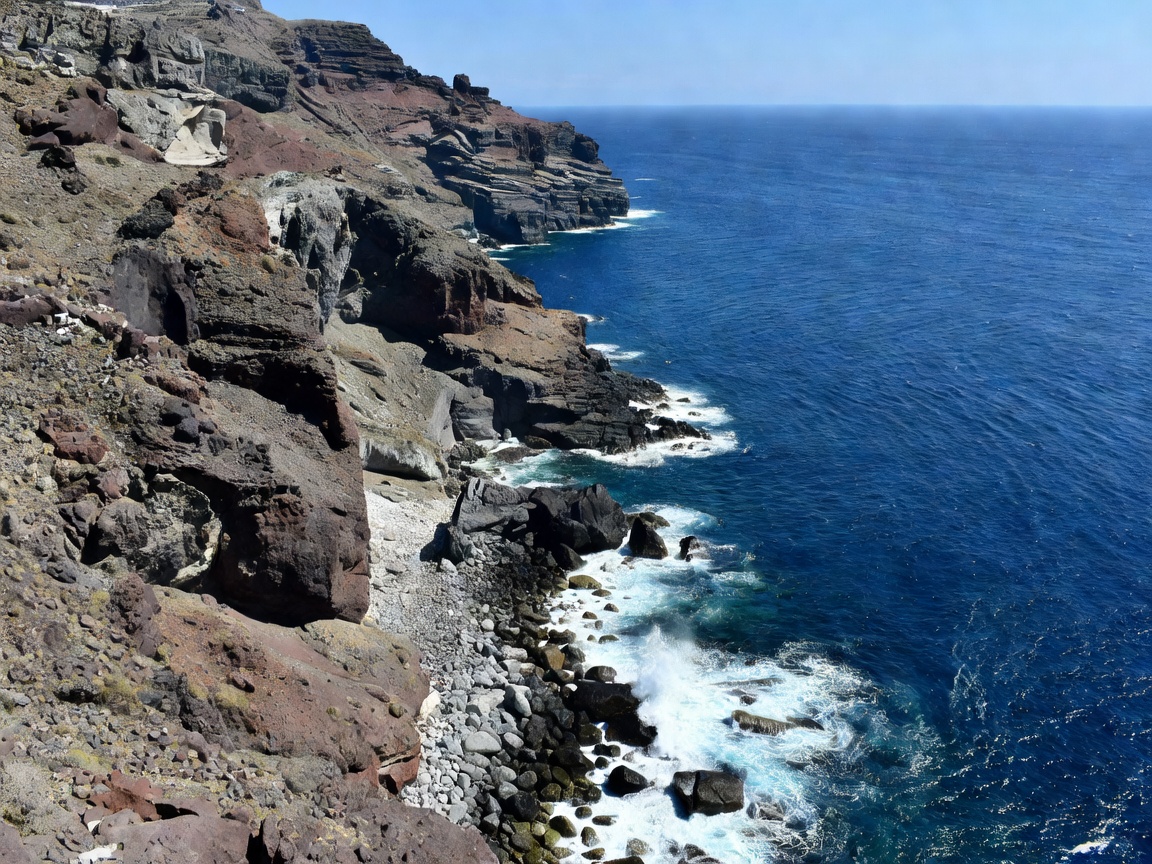
Volcanic Rim
Santorini Caldera Trail
Stretching between Fira and Oia, this ridge walk hugs volcanic basalt sheer drops overlooking submerged craters and Nea Kameni.
View Full Analysis →An architectural and geographic survey of the Mediterranean's most striking topographic vantage points, from ancient monastic sandstone pillars to volcanic sea ledges.
Explore our top five documented observation sites, detailing terrain difficulty, optimal light angles, elevation profiles, and access guidelines.
Stretching between Fira and Oia, this ridge walk hugs volcanic basalt sheer drops overlooking submerged craters and Nea Kameni.
View Full Analysis →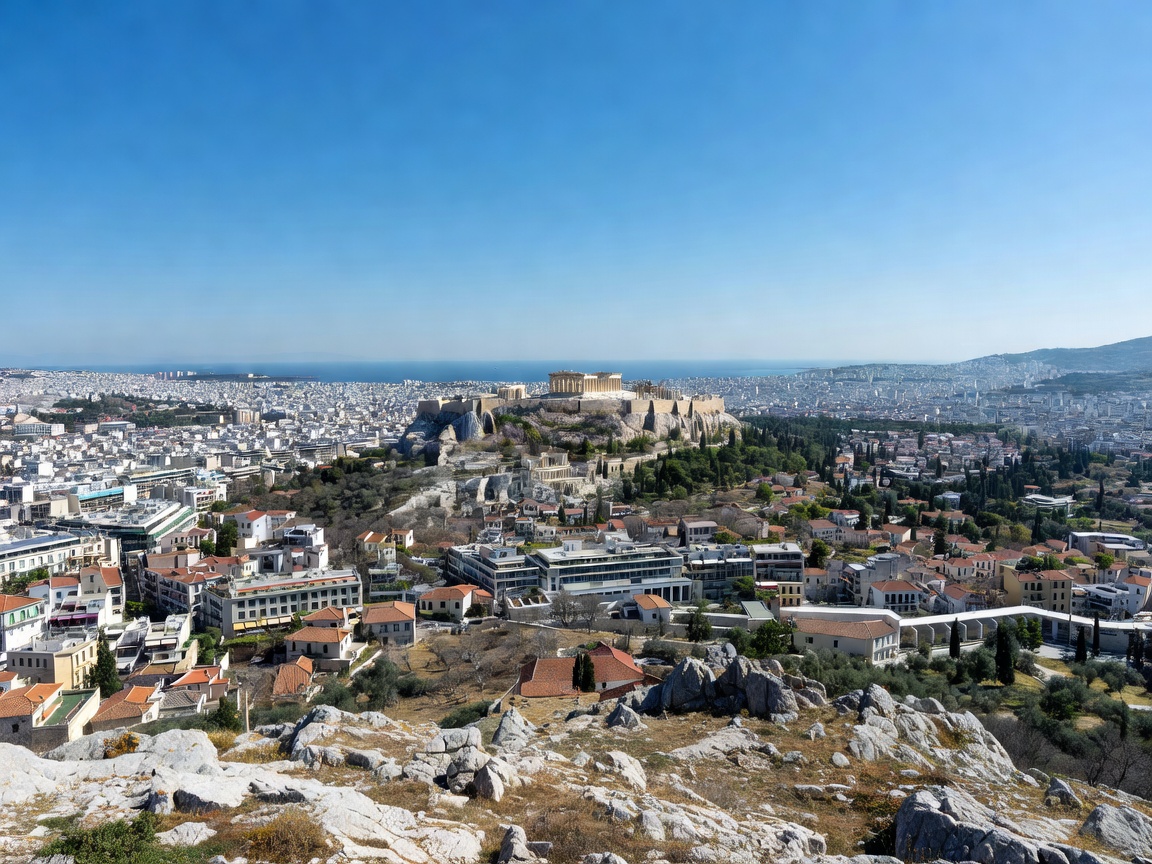
Athens' tallest Cretaceous limestone peak offering uninterrupted 360-degree vistas stretching across Attica to the Saronic Gulf.
View Full Analysis →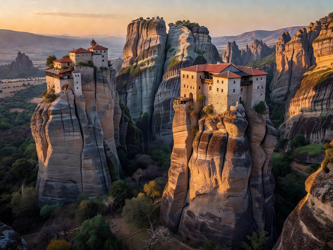
Sheer conglomerate rock pillars in Thessaly, topped with medieval monasteries overlooking the Peneus river valley and Pindus mountains.
View Full Analysis →
The definitive western prow of Thira island, looking out across the Ammoudi Bay inlet as the solar disk drops into open Aegean waters.
View Full Analysis →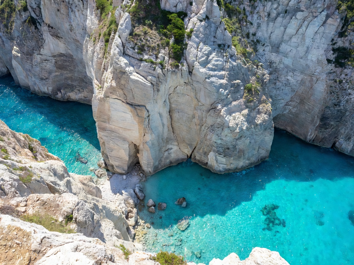
Vertical coastal limestone towers plunging two hundred meters into turquoise Ionian breakers, framing the famed shipwreck strand below.
View Full Analysis →How we assess topography, atmospheric transparency, and structural stability across Greek regional viewpoints.
We catalog vantage points positioned at key western and eastern orientations, isolating maritime light refractions and minimizing sun glare interference.
Our terrain notes differentiate between reinforced municipal viewing decks, centuries-old stone fortifications, and loose karst limestone shelves requiring footwear precautions.
Understanding access routes—from steep donkey paths and funicular cars to rural mountain switchbacks—ensures visitors prepare for seasonal density and safety.